|
- from Belle Vue Lane to Hare Lane, Chester Rugby Club.
Leaving the village via Belle Vue Lane, beyond the sharp bend, on the left is Belle Vue Farm. Once a dairy farm, then orchards and pick - your - own soft fruits, it has a caravan site and riding centre. Between the entrance to the farm and the bypass road bridge, a footpath fingerpost on the left points south down the long drive, known variously in the past as Isbon Lane or Violet Lane, to the cottage "Polruan". At the end of the lane the path continues to the right, between the fence and hedge, to a stile. The recent house and buildings of Manor Farm can be seen to the right, the former site having been lost to the A55 / M53 link, with only the farm house left standing on Hare Lane. Straight ahead, along the edge of the field, another stile leads right onto a track which goes west to Hare Lane, to emerge opposite the entrance to the Rugby Club.
Map ref: Start SJ 439 677 Finish SJ 438 669
.....top
- from Church Lane, Bird in Hand, to Belle Vue Lane.
This path starts just beyond the Bird in Hand, the site of which has been occupied by an inn since 1500. A metal kissing gate on the right gives access to the path, which climbs up the steps behind the Oaklands estate. From the kissing gate at the top of these steps the path is surfaced to its junction at the bend of Belle Vue Lane. The abandoned brick walls part way along are the remains of what used to be the village sewage plant. This path, along with Oxen Lane forms part of the waymarked Longster Trail from Pipers Ash to the top of Helsby Hill. Leaving Guilden Sutton this trail crosses the Gowy on its way to Helsby.
Map ref: Start SJ 448 680 Finish SJ 443 678
.....top
- from Church Lane, Bird in Hand, to the A51 Tarvin Road, opposite the Little Chef.
Church Lane, beyond the Bird in Hand, becomes a track up through The Hollows, once the site of Mount Farm. At the top of The Hollows there is a metal kissing gate which leads into the fields. The path follows the edge of the field to a wooden kissing gate onto a farm track. There is no right of way to the left (east) towards The Byatts Farm. The footpath crosses this track and continues south along the western edge of the very large field known as The Parks. On old maps this route to Littleton is shown as of equal status to the lanes that are now the main routes into Guilden Sutton. There are five large oak trees along this part of the path. A metal kissing gate leads onto the golf course, and blue posts mark the line of the path, still running due south, past a pond to a wooden kissing gate. A short length of track called Park Lane leads to the A51 opposite the Little Chef.
Map ref: Start SJ 448 680 Finish SJ 454 670
.....top
- from Wicker Lane to The A51 Tarvin Road at Vicars Cross Golf Club.
The path leaves Wicker Lane where it makes a sharp left turn out of the village and follows the drive towards The Byatts. The farm dates back to the middle of the 19th century and under the Dutton family became one of the leading dairy farms in the county, and like many others in the area made cheese. The footpath does not enter the yard itself, but goes straight on towards Highfield, skirting the top of its vegetable garden by means of two stiles. The path then carries straight on along the right (western) edge of a small field before another stile leads onto the golf course.
The path across the golf course is more or less straight, following a line of trees and shrubs, and is well marked by blue posts at intervals of about 20 metres. In July the ground is often covered with drifts of white cotton from the seed capsules of the white poplars. At the bottom of the slope the path turns towards the bridge over the drainage stream which marks the Guilden Sutton parish boundary. About half way up the slope there is a surfaced path up towards the clubhouse, and the blue posts direct you to the right of the clubhouse, through the car park to the main entrance. (If coming from the A5 I , rather than through the car park, the public footpath sign directs you past the back of the club buildings.) The long barn is all that remains of the former farm which served as the clubhouse until 1965.
Map ref: Start SJ 451 679 Finish SJ454 670
.....top
- from Wicker Lane, Hill Farm House, to Oxen Bridge.
This path leads off the first bend at the beginning of Wicker Lane where it rises up out of the village. This was once known as Annie Hughes' Hill on which stood Tile Bank Cottages and the entrance to a former brick and tile works until 1972. This occupied the land behind the Methodist Chapel but ceased production at the end of the 19th century. A fingerpost points along the drive beside Hill Farm House. This dates back to 1716 and is believed to be the oldest building in the parish. Just beyond its outbuildings, now a house called Tile Barn, there are two gates. A stile at the side of the right hand gate gives access to the path. It goes east, following the hedge, with the recently built Tile Farm across the field to the right (south). There is a stile in the newly wooded corner of the field. From here the path follows the same line east across the middle of the next field.
A break in the opposite hedge in the distance is the site of the next stile and the point to aim for, keeping the overhead lines on your right. Over the stile a footbridge crosses the drain of Babbins Brook and the path turns right (south) to follow the hedge to Oxen Bridge. The first part of the path on the other side of the River Gowy, across the meadow towards Barrow, is still within the parish of Guilden Sutton. The parish boundary follows the old course of the river which lies further to the east of the present artificial channel.
Many interesting birds inhabit this area. Yellowhammers, with their distinctive call sounding like "little-bit-of-bread-and-no-cheese" can be heard, and the cuckoo on many early summer mornings or late evenings.
Map ref: Start SJ 449 682 Finish SJ 458 682
.....top
- from Wicker Lane to Oxen Bridge.
The stile to the left of the double gates opposite the end of Cinder Lane gives access to Oxen Lane. This was used by the farmers of Guilden Sutton to take their cattle down to the rich meadows of the River Gowy. Part way down it is crossed by the new drive to Tile Farm, and after the bend beyond, continues the same line east, down past the Mill Fields to Oxen Bridge. The meadows here used to flood frequently. The river was higher and winding with willows on its banks, its present course having been cut in the 1940's. Heron, curlew and sometimes visiting swans can still be seen here.
Map ref: Start SJ 450 680 Finish SJ 458 682
.....top
- from Guilden Sutton Lane to Station Lane.
This path has recently been turned into a restricted byway enabling access to pedestrians, cyclist and horses. The Guilden Sutton / Mickle Trafford parish boundary runs along the middle of this lane, and it comes out on Station Lane, near Meadow Lea Farm. The Lane used to continue on the other side of the road and a short avenue of trees can be seen in the garden opposite.
It used to be a main road out of Chester, and an old trail which farmers would use to drive their cattle to the station at Mickle Trafford. There is also a story of Cromwell's troops being sent from the city to punish the villagers for expressing loyalty to the King. Tucked away in the dip that is Church Lane, the village was not visible from the lane. Seeing no sign of habitation, the troops are said to have given up and returned to Chester.
On the wide bend in Guilden Sutton Lane, between the old school and the railway bridge, a fingerpost points along the lane leading to Park Farm. A few metres along this lane, before the railway bridge, a broad right turn marks the entrance to The Green Lane.
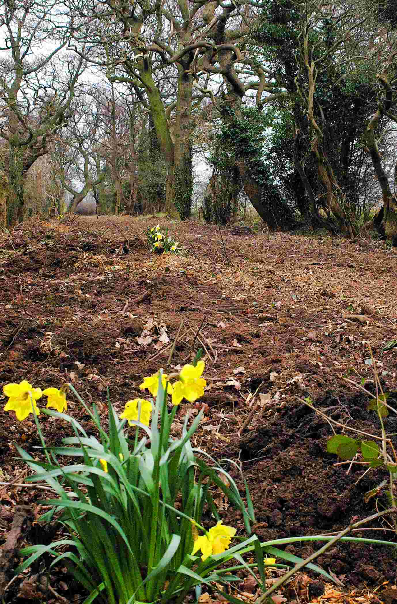
There are some old craggy oak trees, many of which contain the drays (nests) of squirrels. There are also lots of blossom trees, with damson, blackthorn, apple and many more, being visible in the spring and providing delicate drifts of colour among the green and brown trees. These give a buzz from the insects during the warm days. By your feet all along the path are many wild flowers such as red campion, herb robert, bluebells, meadowsweet, celandine and honesty. Honeysuckle can also be seen in the hedgerows.
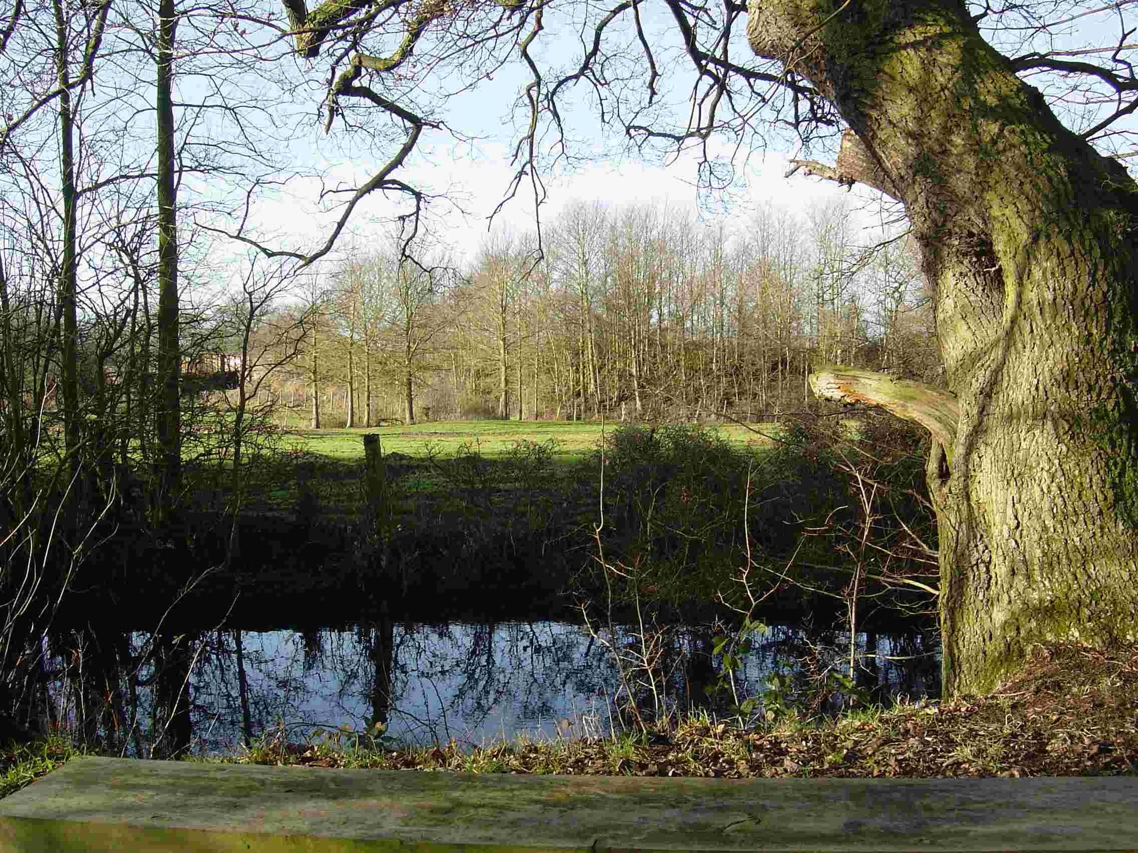
Just under half way along the footpath, on the left, there are two ponds, one in the lane, the other in the adjoining field. Both have recently been cleaned out and some of the trees around cut to let in more light. These ponds, or "pits" as they were called, are a couple of survivors of the many pits that used to dot the fields around the village. Originally dug for marl to fertilise the fields, they provided water for the cattle but most fell into disuse when piped water reached the farms. The pit in the field is fed by the ditch which goes under Guilden Sutton Lane from the south and then flows down the right hand side of The Green Lane. The pond in the lane itself drains into the same stream, and from the field pit the waters flow north, near the railway line, and on to the River Gowy near Plemstall.
Woodpeckers and jays are among the birds that can be seen and heard along this path, together with yellowhammers on the telephone wires, blue tits, great tits, wood pigeons, collared doves and starlings. In the autumn buzzards can be seen in the adjoining hedgerows.
Map ref: Start SJ 440 683 Finish SJ 448 688
.....top
|