About Guilden Sutton
About
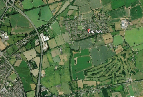
Guilden Sutton is a village of 630 properties with about 1660 inhabitants which lies in gently rolling countryside three miles to the east of Chester, and within sight of the Cathedral tower. It has grown substantially over the past century, but remains a rural village, surrounded by fields and totally within the Green Belt. In 2015 the parish boundary was enlarged to include Pipers Ash and Park Farm. A map of the current boundary can be found here. The village name means "the southern homestead in the hollow where the marsh marigolds grow.
The close proximity to Chester, and with its excellent motorway links to Liverpool, Manchester, North Wales and the Potteries means that it has become a dormitory village, but maintains a good community spirit.
A church and a chapel are located in the heart of the "old" part of the village, both of which have halls attached. The Methodist church closed in 2012 and has been converted into a private dwelling.
There is a very active Community Association, whose Village Hall, opened in 1987 and extended in 1997, was built using money raised from community fundraising activities. The hall is well used by mother-and-toddler groups, for regular stage productions, parties, quizzes and exhibitions.
Guilden Sutton Primary School was rebuilt on a new site in 1990, and maintains an enviable reputation both for the quality of its teaching and its ambiance.
Other facilities available in our village include a newsagent/post office/general store, beautician, dentist's surgery, two hairdressers and the Bird in Hand public house.
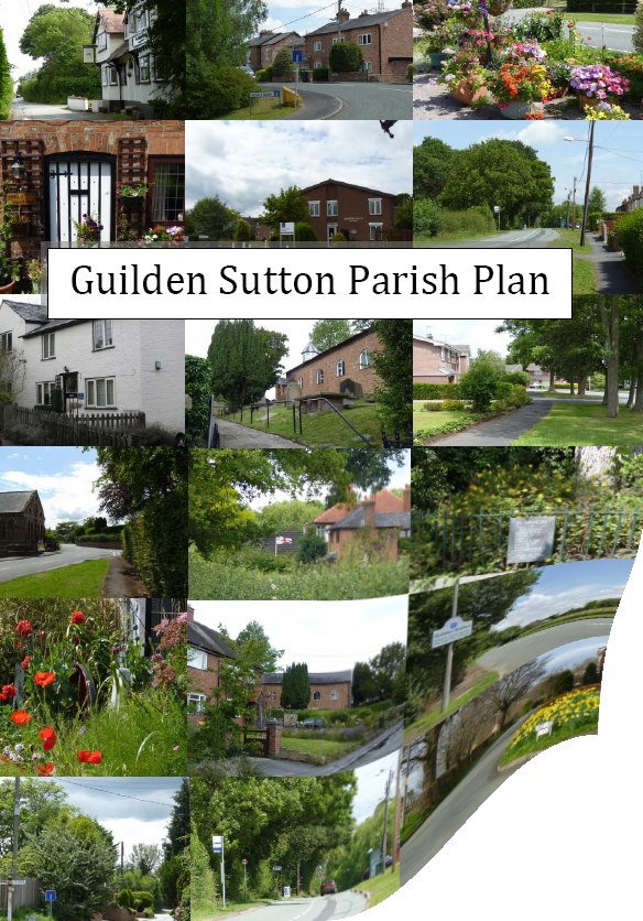
Parish plan
The Guilden Sutton Parish plan was produced using local information and a survery of the residents. The booklet can be downloaded here.
Neighbourhood plan
The village is in the process of producing a local neighbourhood plan which will determine the shape of Guilden Sutton in the future. A group has been set up to do this and full info can be found by clicking the button
Census info
Info about Guilden Sutton mainly from the 2011 census